Maps of Paracel Islands

Attention! Size of some images is greater than 5 or 10 MB.
Click on the below images to increase!

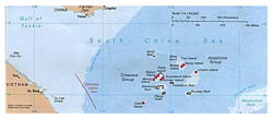
Detailed political map of Paracel Islands – 1988.

Detailed political map of Paracel Islands - 1988.

Detailed political map of Paracel Islands – 1988.

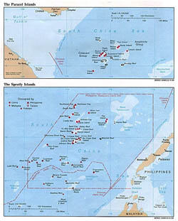
Detailed political map of Paracel Islands and Spratly Islands – 1988.

Detailed political map of Paracel Islands and Spratly Islands - 1988.

Detailed political map of Paracel Islands and Spratly Islands – 1988.

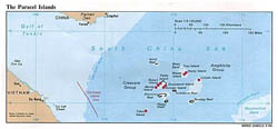
Detailed political map of Paracel Islands.

Detailed political map of Paracel Islands.

Detailed political map of Paracel Islands.

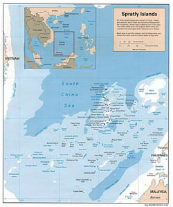
Detailed political map of Spratly Islands – 1995.

Detailed political map of Spratly Islands - 1995.

Detailed political map of Spratly Islands – 1995.

Maps of Paracel Islands. Collection of detailed maps of Paracel Islands. Political, administrative, road, relief, physical, topographical, travel and other maps of Paracel Islands. Cities of Paracel Islands on maps. Maps of Paracel Islands in English and Russian.

Facebook page
Facebook page